Report on satellite crop monitoring in northern Iran released

TEHRAN – The Iranian Space Agency (ISA) released a report for satellite crop monitoring of subtropical gardens in Northern provinces of Gilan and Mazandaran, Mehr reported on Sunday.
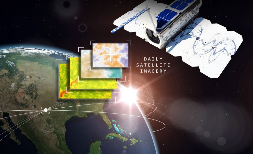
The monitoring is based on the imagery received from remote sensing satellites, which have a great influence on agricultural management.
The detailed report is provided for provincial managers in order to improve macro management of agriculture nationwide.
The maps of gardens in Gilan and Mazandaran provinces are based on satellite data processing received during the current Iranian calendar year (started March 21, 2018) and provided to the Ministry of Agriculture.
According to the report, the subtropical gardens in Mazandaran Province, which include fruits like citrus, kiwi and pomegranate, are mostly located in Sari, Qaemshahr and Tonekabon.
The ISA does not reveal any further detail in the press release.
According to medium.com, satellite imagery is revolutionizing agriculture and can help farmers and public authorities take land monitoring to a new level. The imagery infrastructure takes care of all the complexity of handling a satellite imagery archive and makes it available for end-users via easy-to-integrate web services.
Monitoring of crop conditions, soil properties and mapping tillage activities, help to assess land use, predict harvests, monitor seasonal changes and assist in implementing policy for sustainable development.
SB/MQ
Leave a Comment